 3. Wellesley Street Corridor


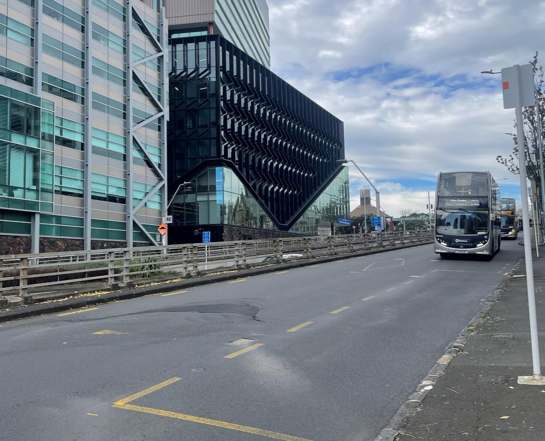 Wellesley Street Cycle
Connection
Wellesley Street Cycle
Connection
Summary
Purpose:
▪
To brief the Control Group and receive direction and input to considerations
Scope of study and expected outcomes:
▪
Identify and assess routes capable of fulfilling the required east-west cycling function through the city centre, providing a safe and
connected cycling route between Grafton Gully/Grafton Road and Queen Street.
▪
Identify a recommended route, and outlining key consequences, dependencies and residual risks, including matters requiring resolution
in future stages of work.
▪
Take a whole-of-network view including all transport and place outcomes
Decisions required to deliver this outcome:
▪
Confirm available safe and useable cycle routes to make the required connection
▪
Decide the need to protect the future ability to widen the Wellesley St eastbound ramp to Symonds St
▪
Decide Preferred cycle route – informing Future Connect and corridor planning/design – and any further work to confirm this
Decide viable
cycle route
Identify and
options
Confirm
Assess cycle
assess cycle
network roles,
route and
Decide preferred
route options and
functions of
integrated
cycle route
integrated trade-
routes
Decide need to
network options
offs
protect the ability
and trade-offs
to widen
Wellesley St EB
ramp.

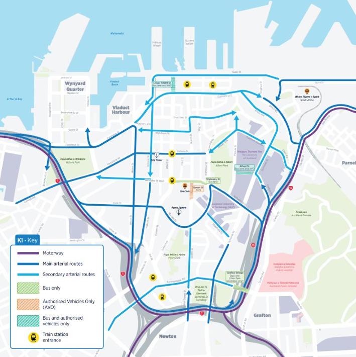

 Network Assessment – Wellesley St
Wellesley is the highest order of corridor for
buses and non-motorway traffic movements. In this regard
Also a Major (second order) cycle route.
it is critical to the overall capacity of the city centre and its ability to function.
The cycle route does not proceed west of Queen St on
Wellesley Street.
Its role as a cycle route is to:
▪ Connect the Grafton Gully Cycleway to Te Ha Noa – a
strategic connection
▪ Provide access to the Learning Quarter from Victoria
Quarter and Ponsonby
▪ Provide access to Midtown from the wider Parnell area
 Status and early
findings
Status and early
findings
The following options (left) have been identified with AT SMEs and are being assessed for
viability.
1. (Current option) Grafton Gully to Queen Street via Wellesley Street
2. Grafton Gully to Victoria Street via Wellesley, Princes Street and Bowen Ave
3. Grafton Gully to Victoria Street via Wellesley Street, Princes Street, Albert Park, Bowen Ave
4. Stanley Street to Victoria Street via Alten Road, Waterloo Quadrant, Bowen Ave
5. Grafton Gully cycleway to Victoria Street via Grafton Road, Alfred Street, Bowen Ave
The previous work in relation to the bus operations and Wellesley St eastbound ramp to
Symonds St has been reviewed. This provides some input to the possible conditions for a
potential use/widening of the Wellesley St – Symonds St ramp.

Document Outline
