
 Bringing up the Selected Land Use Register GIS Layer (2017)
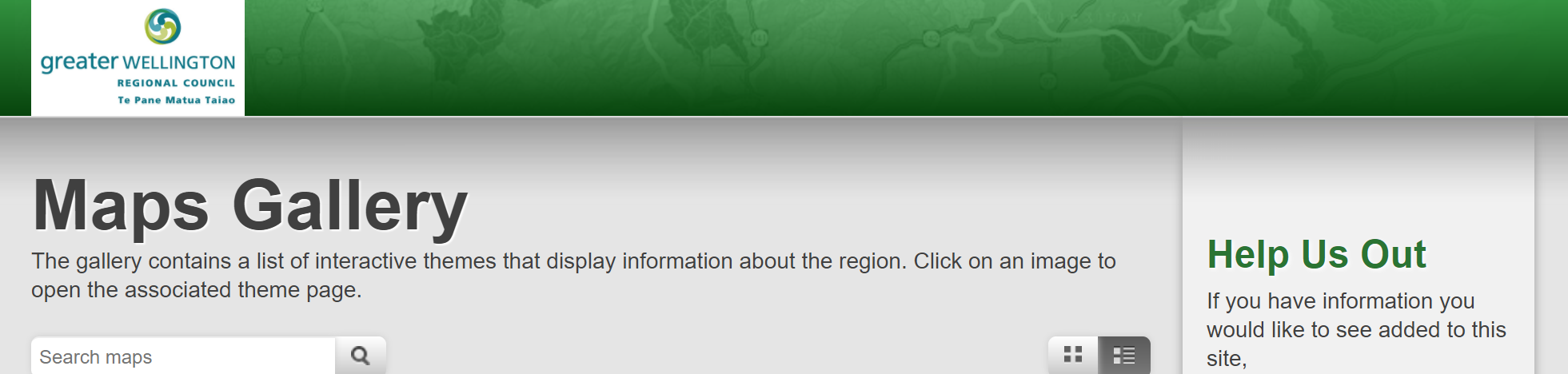
The Greater Wellington GIS Viewer can be found by using the below website:
http://mapping.gw.govt.nz/gwrc/
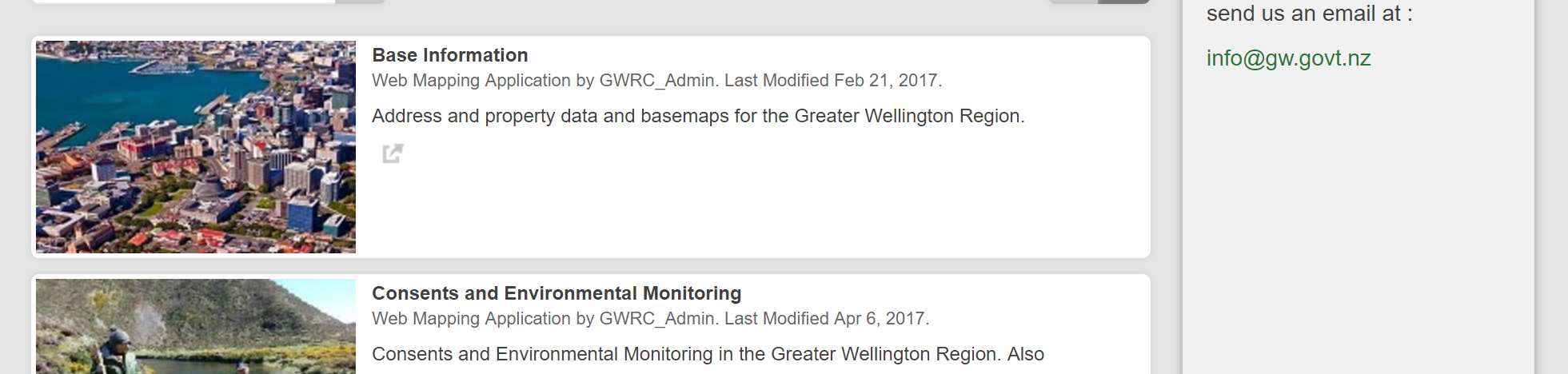
The website above will take you to the below screen:
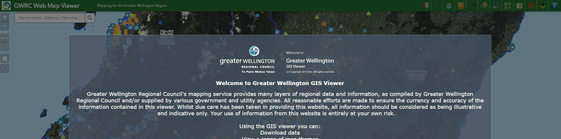
1. Select the ‘Consents and Environmental Monitoring’ option, this will open the Web Map Viewer shown
below:

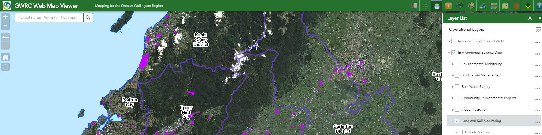
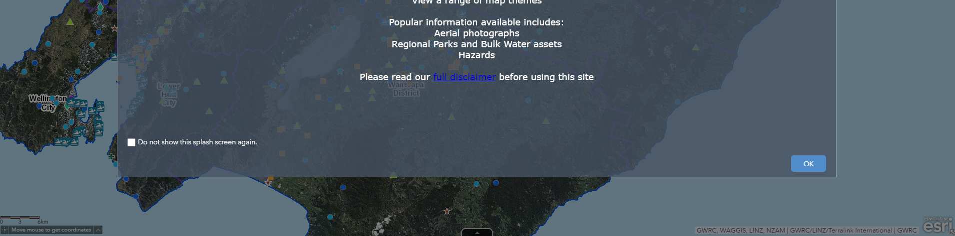
2. Select ‘OK’ on the splash screen and then open the layer list, see red arrow below:
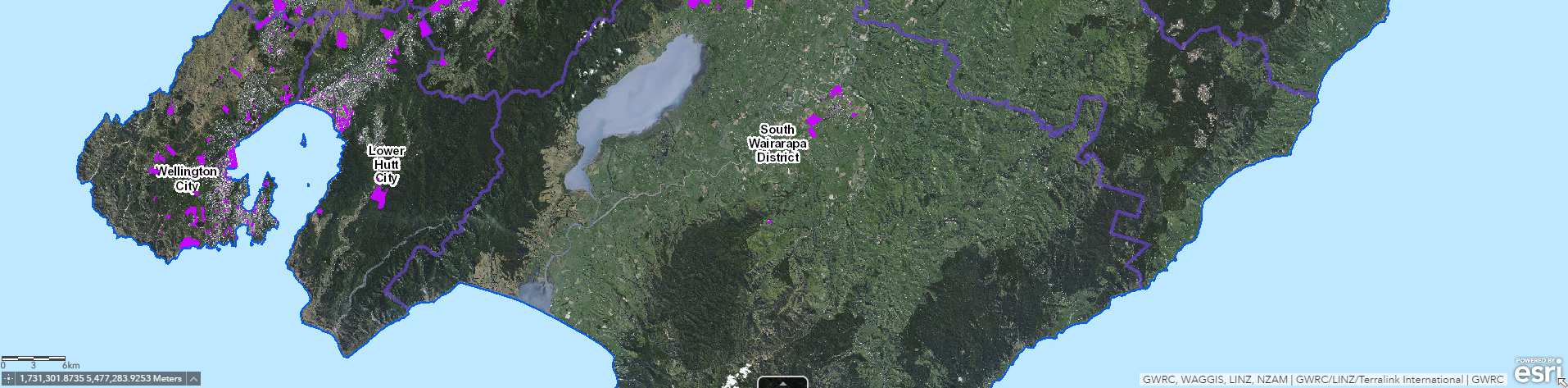
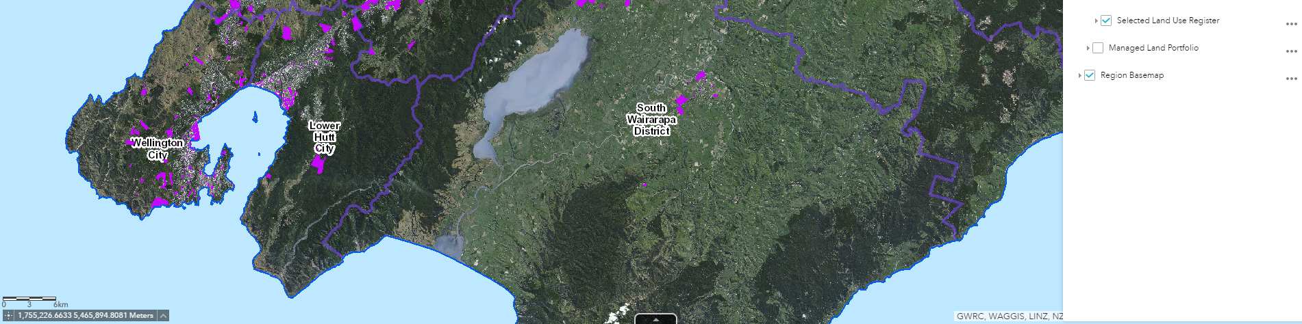
3. Once the layer List appears, check all boxes identified with red arrows in the below image: ‘Selected
Land Use Register’, ‘Land and Soil Monitoring’ and ‘Environment Science Data’. Uncheck the
‘Environmental Monitoring’ layer identified with the blue arrow.

4. You will now be able to view the Selected Land Use Register (SLUR) GIS Layer; you can search for an
address in the search tool shown below:
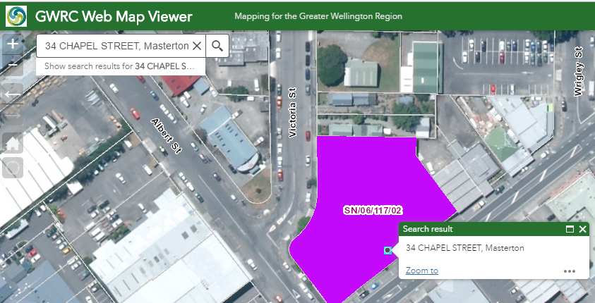
5. The search tool will locate the property and if the property appears to be on the SLUR it will be
covered with a pink GIS polygon and be identified with a site number (SN/**/***/02). Please quote
this site number when making a SLUR enquiry.
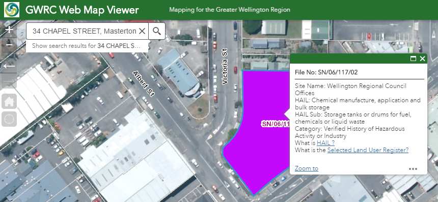
6. Details on the SLUR site can be found by clicking on the pink GIS polygon which will bring up a ‘pop-
up’: