AECOM
Wellington to Hutt Valley Cycle and Pedestrian Link
Appendix L
Urban Design and
ACT
Landscape
THE
UNDER
INFORMATION
RELEASED
OFFICIAL
04-Dec-2014
Prepared for – New Zealand Transport Agency – Co No.: N/A
D E S I G N C O N C E P T
Melling Link
hutt river
melling station
Normandale Rd
LOWER HUTT LINKS
Dowse Drive
Railway Ave
KoroKoro Cres
western hutt
station
korokoro stream
Wakefield St
McKenzie Ave
Petone - Grenada
wakefield st
station
Horokiwi Rd
petone station
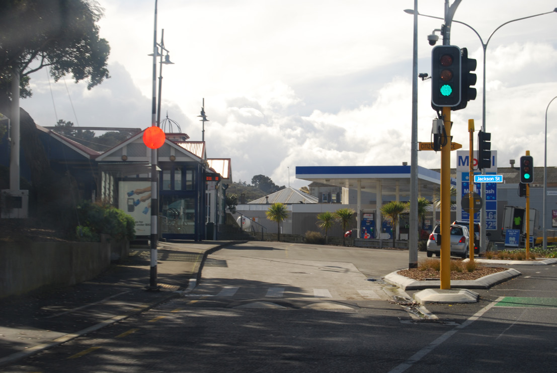
Jackson St
ACT
STATE HIGHWAY 1
PETONE ESPLANADE
STATE HIGHWAY 2
THE
Onslow Rd
Waione St - Eastbourne
ngauranga station
Kaiwharawhara Rd
kaiwharawhara stream
THORNDON QUAY-HUTT RD
kaiwharawhara station
UNDER
ferry terminal
INFORMATION
Hutt Rd-Thorndon Quay
Aotea Quay
wellington station
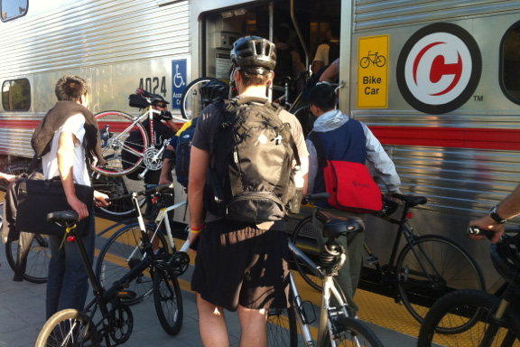
Design for all pedestrian and cycle user groups and link to other sustainable transport options
challenge/opportunity: prioritising the needs of the ‘enthusiastic and interested’ without losing the ‘confident’; ferry, rail and bus station links
RELEASED
Build in ‘other’ urban design and landscape benefits
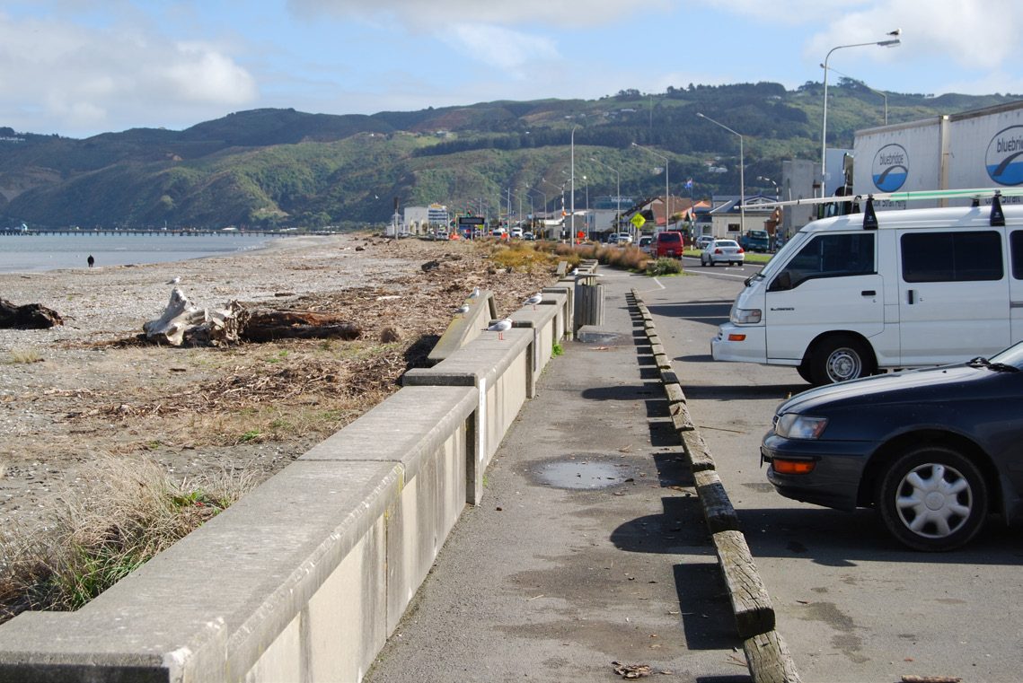
challenge/opportunity: coastal environment; streetscapes; city thresholds; urban centre and recreation/open space links; consistent quality aesthetic - structures and typical details
OFFICIAL
Design to avoid and reduce adverse effects
challenge/opportunity: outstanding natural features/landscapes; natural character/ecology; archaeological/historic/cultural sites; direct effects on property owners; outlook -visual amenity; streetscapes and
connectivity/existing circulation patterns; recreation/openspace values.
U R B A N A N D L A N D S C A P E D E S I G N F R A M E W O R K G U I D E - D R A F T
P E T O N E T O N G A U R A N G A C Y C L I N G A N D P E D E S T R I A N I M P R O V E M E N T S D B C
1 May 2014
pg1


 T H O R N D O N Q U A Y - H U T T R O A D
C O N S T R A I N T S A N D O P P O R T U N I T I E S
T H O R N D O N Q U A Y - H U T T R O A D
C O N S T R A I N T S A N D O P P O R T U N I T I E S
STATE HIGHWAY 1
Onslow Rd
ngauranga station
Kaiwharawhara Rd
kaiwharawhara stream
THORNDON QUAY-HUTT RD
kaiwharawhara station
ferry terminal
Hutt Rd-Thorndon Quay
ACT
Aotea Quay
wellington station
THE
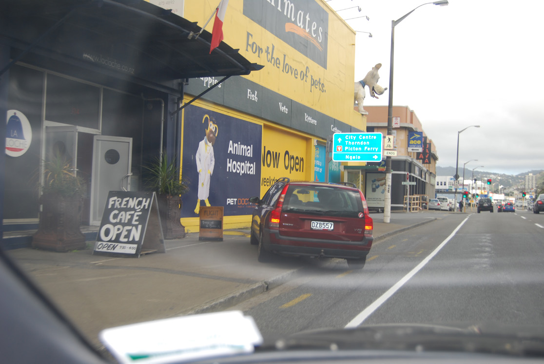
Improve links to the Ferry Terminal , Aotea Quay and possible link to the coast via Kaiwharawhara stream or station
UNDER
INFORMATION
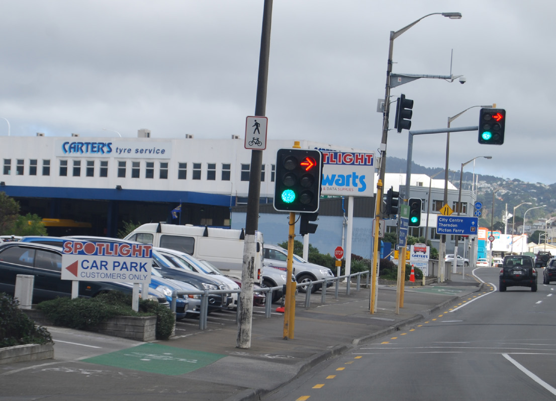
Improve paving condition and provide a clear route with consistent cues and reduced changes in level
RELEASED
OFFICIAL
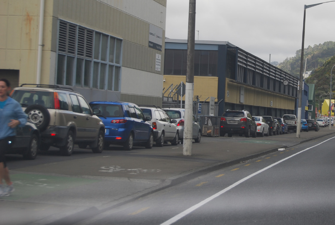
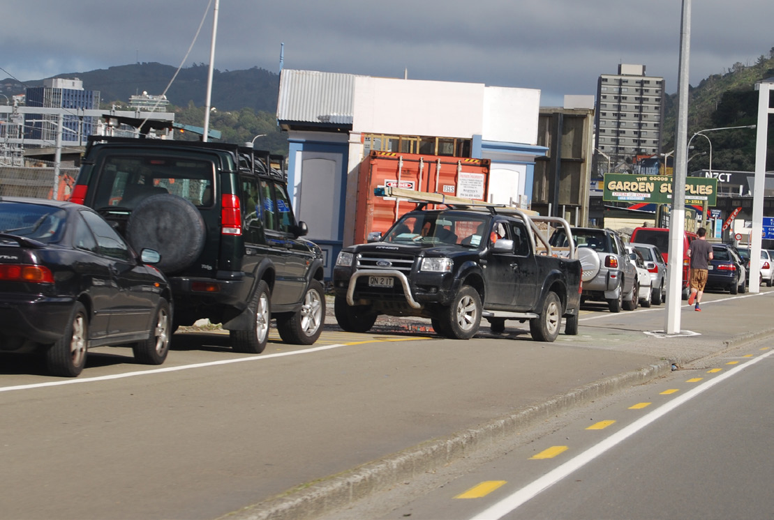
Rationalise/reconfigure parking, vehicle access and signage to reduce conflict
U R B A N A N D L A N D S C A P E D E S I G N F R A M E W O R K G U I D E - D R A F T
P E T O N E T O N G A U R A N G A C Y C L I N G A N D P E D E S T R I A N I M P R O V E M E N T S D B C
1 May 2014
pg2

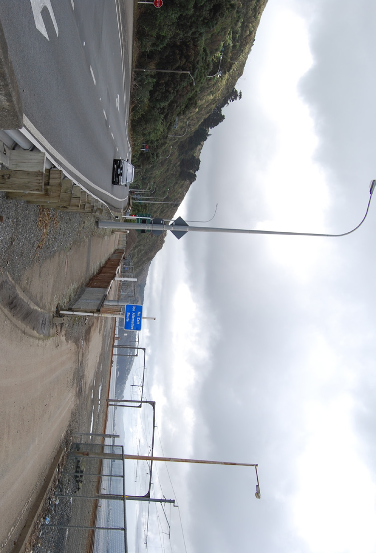
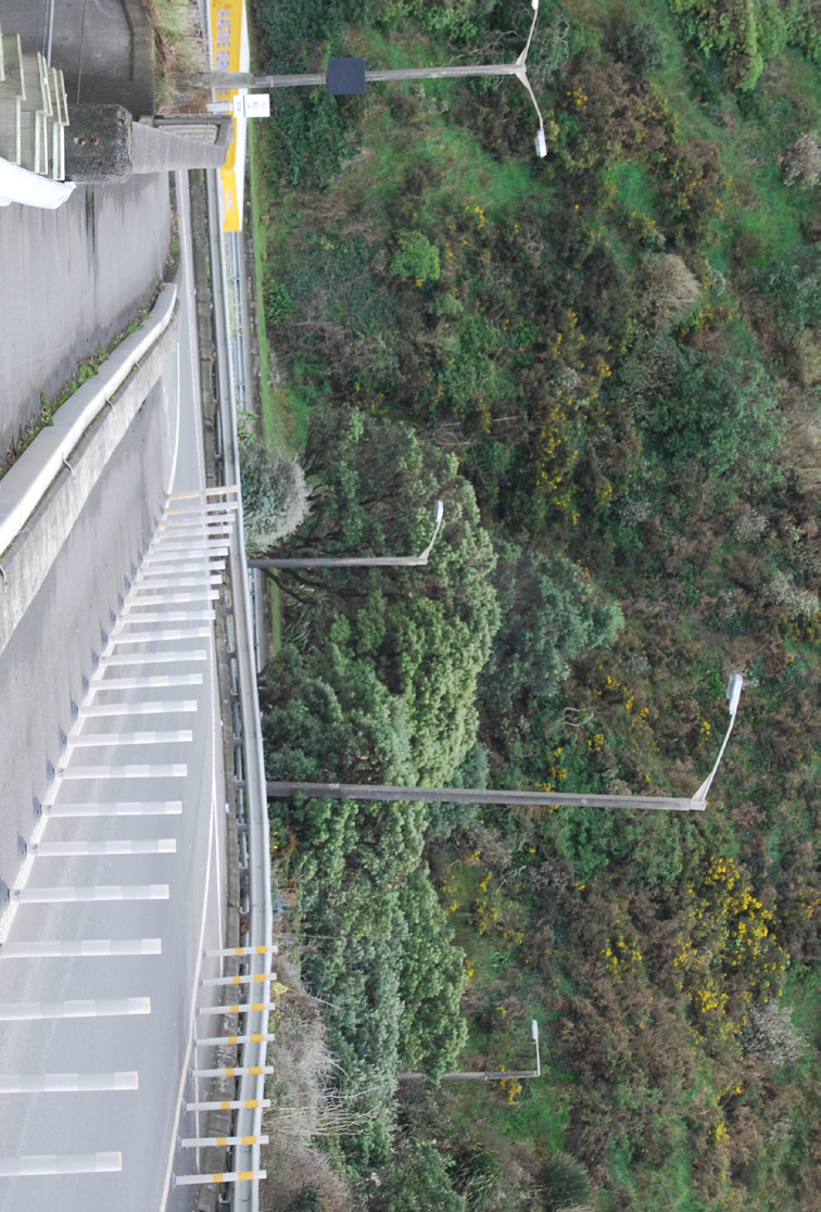
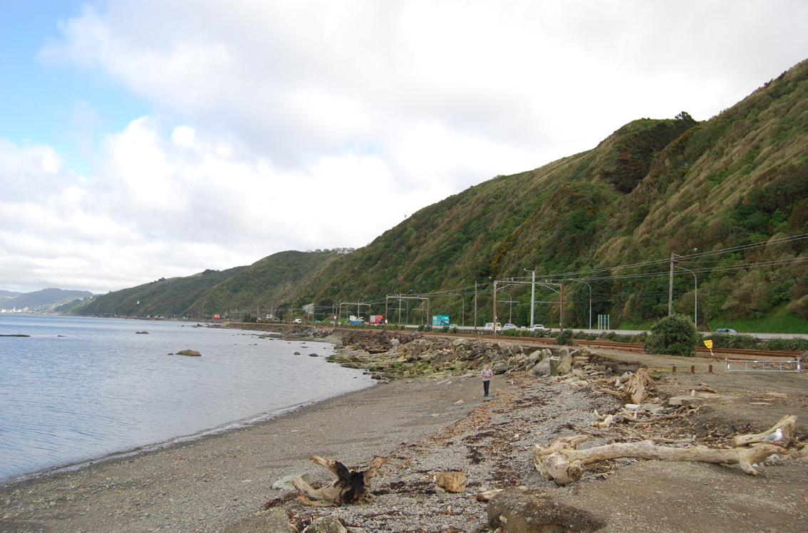
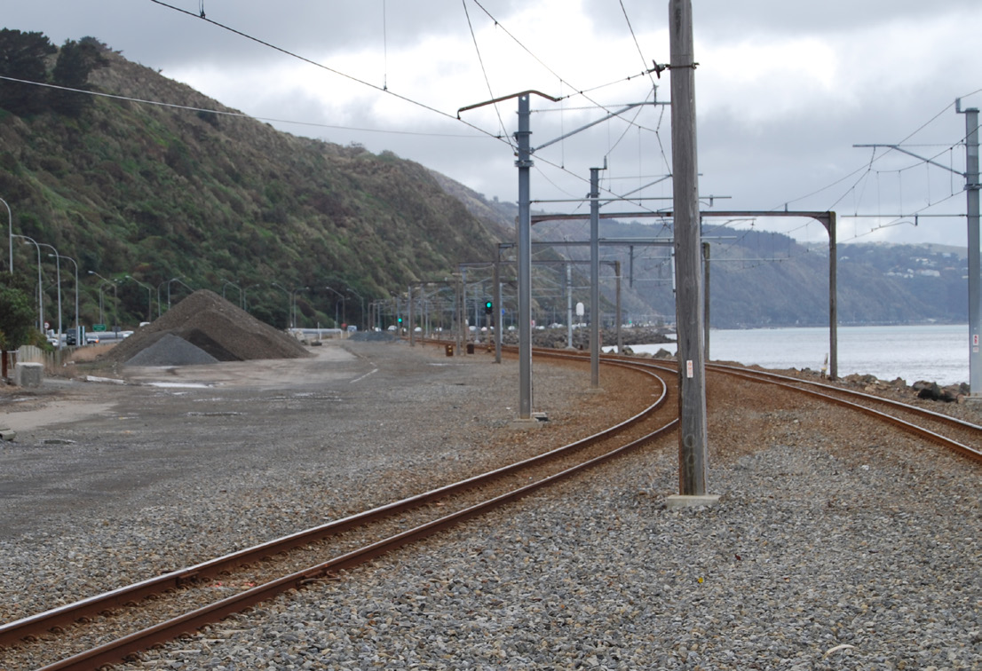 S T A T E H I G H W A Y 2
C O N S T R A I N T S A N D O P P O R T U N I T I E S
korokoro stream
Petone - Grenada
Horokiwi Rd
STATE HIGHWAY 1
STATE HIGHWAY 2
ngauranga station
kaiwharawhara stream
ACT
Hutt Rd-Thorndon Quay
THE
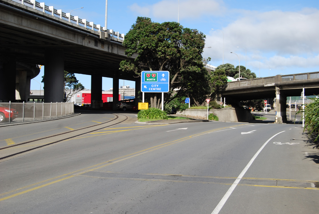
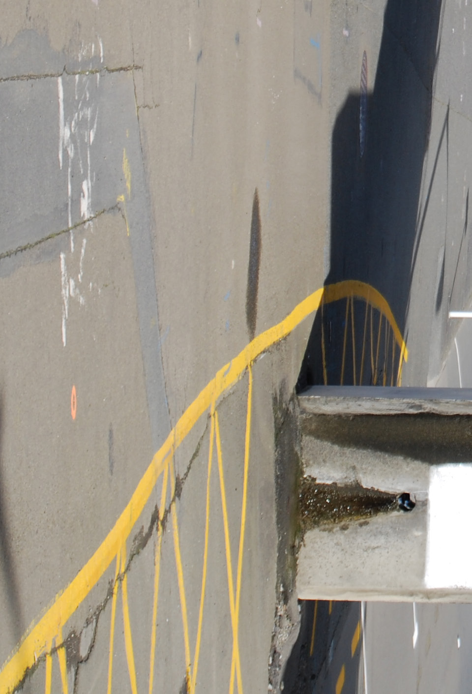
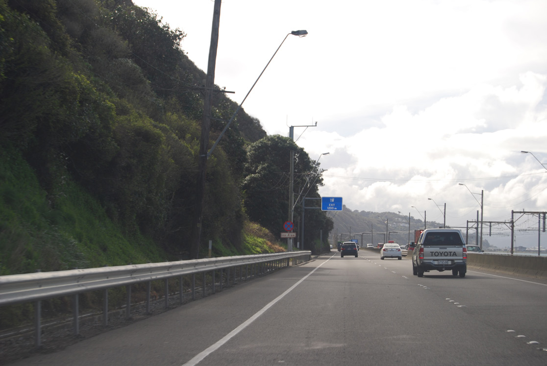
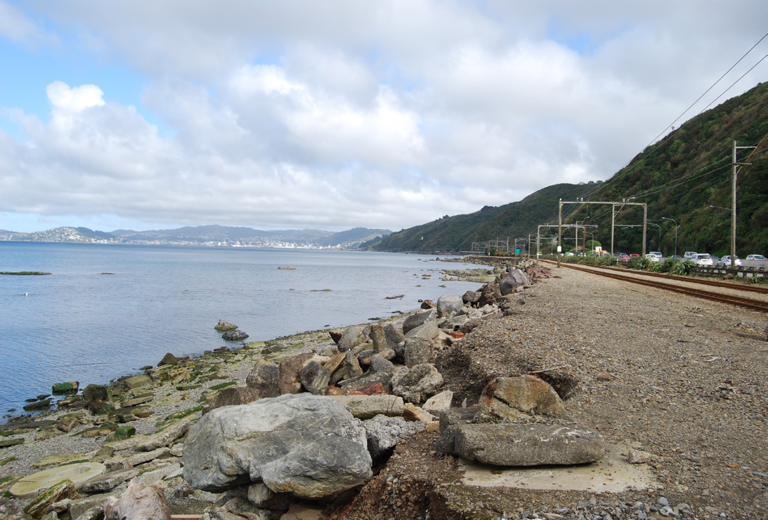
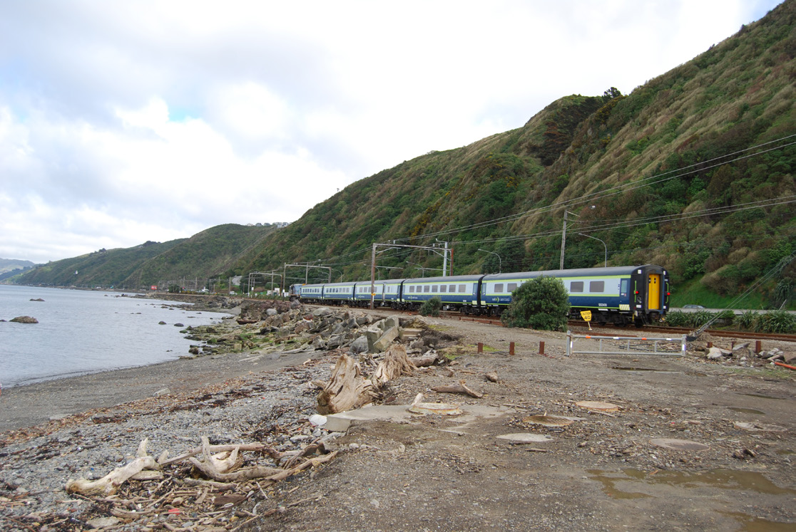
Improve safety and amenity of the Ngauranga interchange - as a threshold to Wellington City, a new shared and separated route to Petone and a continued ‘strong and fearless’ shoulder
UNDER
INFORMATION
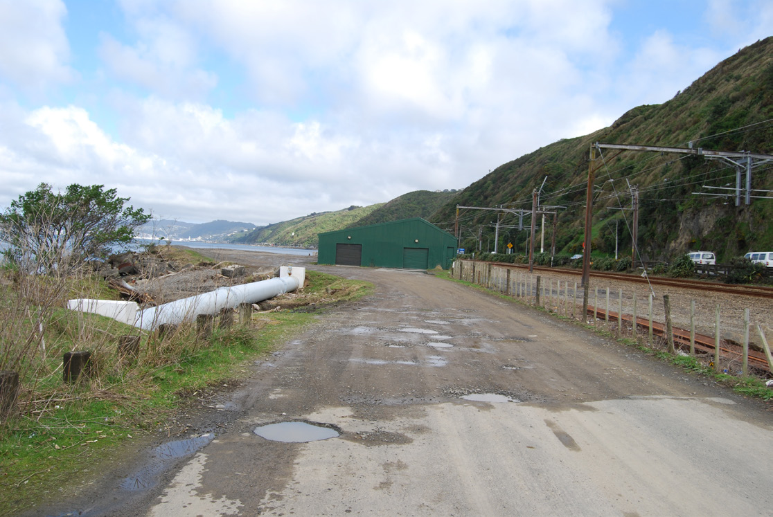
Complement Kiwirail resilience planning
RELEASED
OFFICIAL
Design to minimise hazards and maintenance and enhance experience of the coastal environment
U R B A N A N D L A N D S C A P E D E S I G N F R A M E W O R K G U I D E - D R A F T
P E T O N E T O N G A U R A N G A C Y C L I N G A N D P E D E S T R I A N I M P R O V E M E N T S D B C
1 May 2014
pg3

 H U T T R O A D L I N K S
C O N S T R A I N T S A N D O P P O R T U N I T I E S
Melling Link
hutt river
melling station
Normandale Rd
LOWER HUTT LINKS
Dowse Drive
Railway Ave
KoroKoro Cres
western hutt
station
korokoro stream
Wakefield St
McKenzie Ave
wakefield st
Petone - Grenada
station
petone station
Jackson St
ACT kaiwharawhara stream WELLINGTON CITY
THE
Hutt Rd-Thorndon Quay
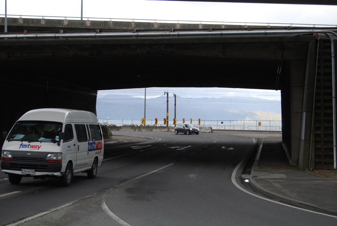
Improve safety, alignment and amenity of the Petone interchange - as a threshold to the Petone CBD and foreshore
UNDER
INFORMATION
Reconfigure the existing path, parking and rail corridor along Hutt Rd -Jackson St to provide a safer commuting environment and improved connections to bus, rail and the Petone/Lower Hutt
MELLING
Hutt River Trail
RELEASED
LOWER
HUTT CBD
OFFICIAL
Railway Ave
Hutt Rd
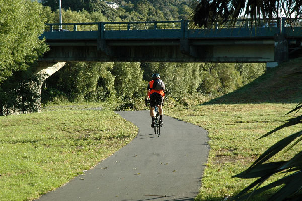
Improve connections to the river trail network and other recreation opportunities
U R B A N A N D L A N D S C A P E D E S I G N F R A M E W O R K G U I D E - D R A F T
P E T O N E T O N G A U R A N G A C Y C L I N G A N D P E D E S T R I A N I M P R O V E M E N T S D B C
1 May 2014
pg4
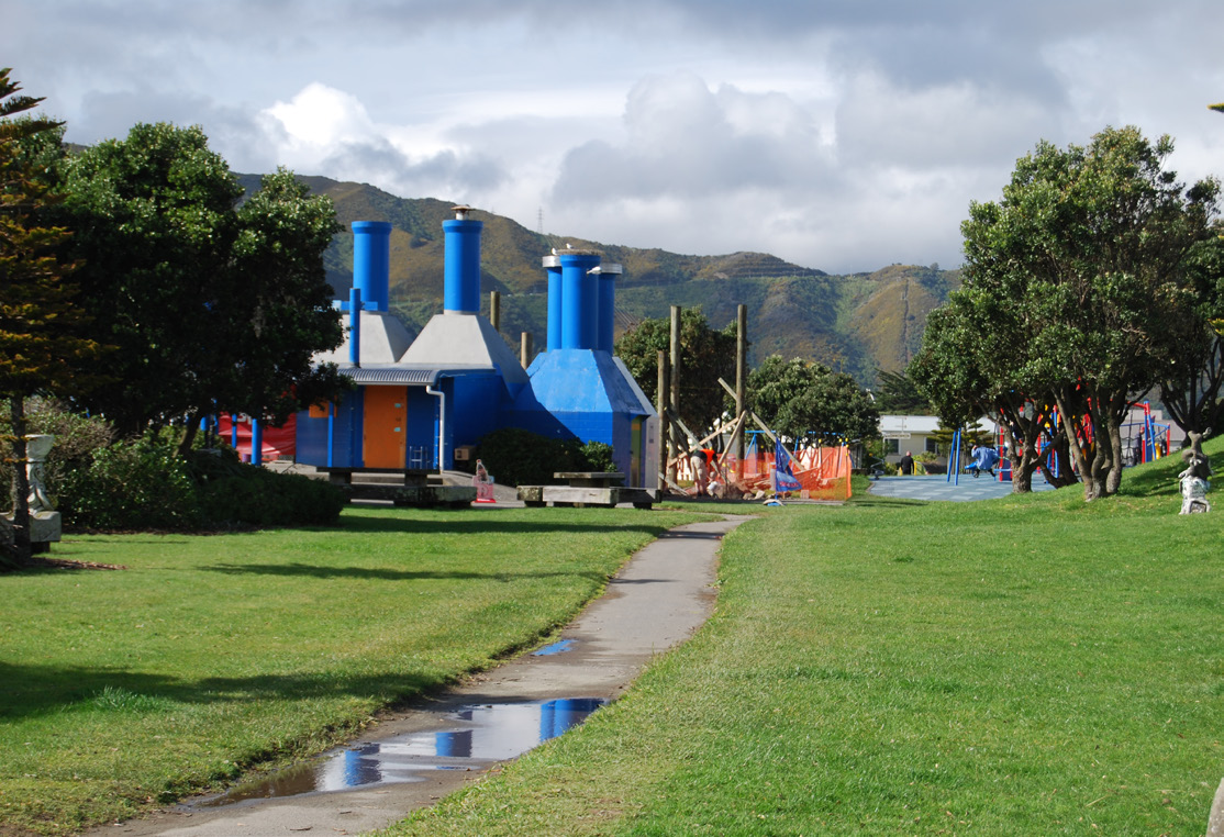
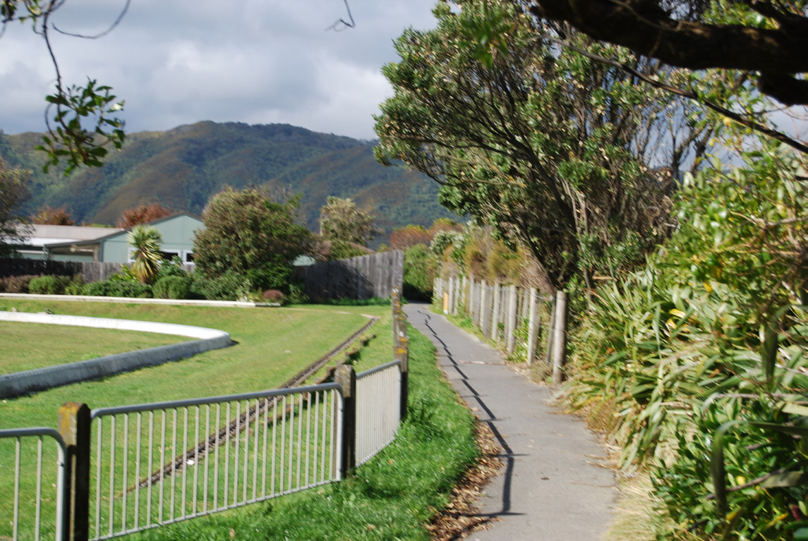
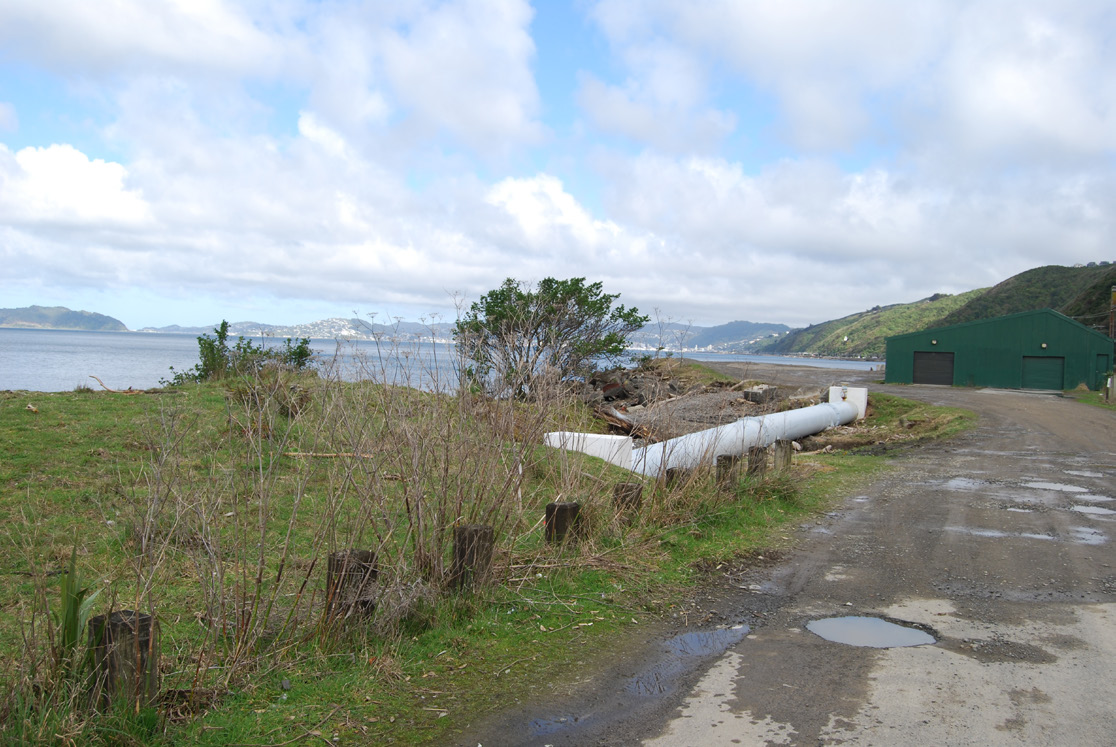
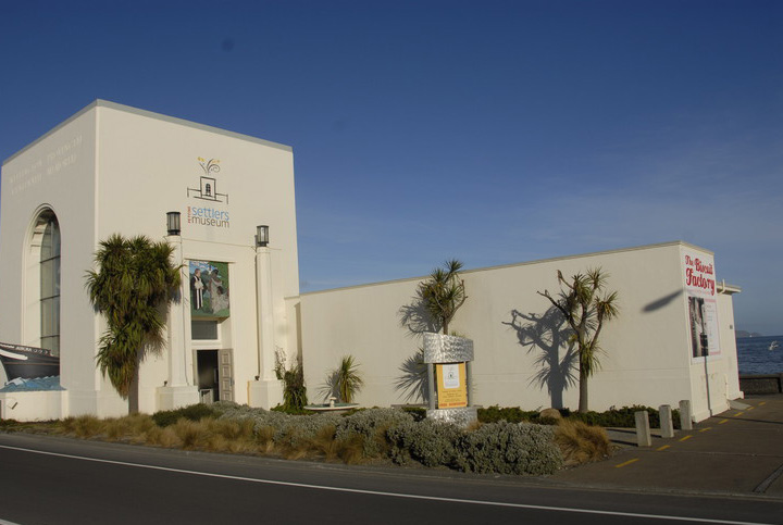
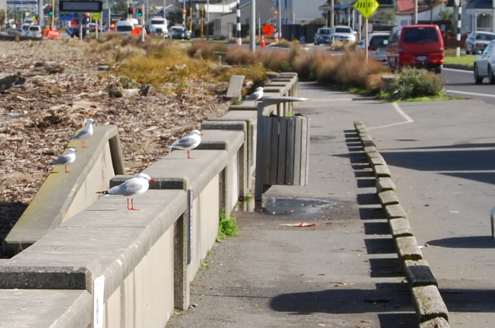
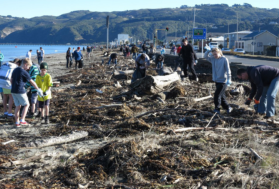
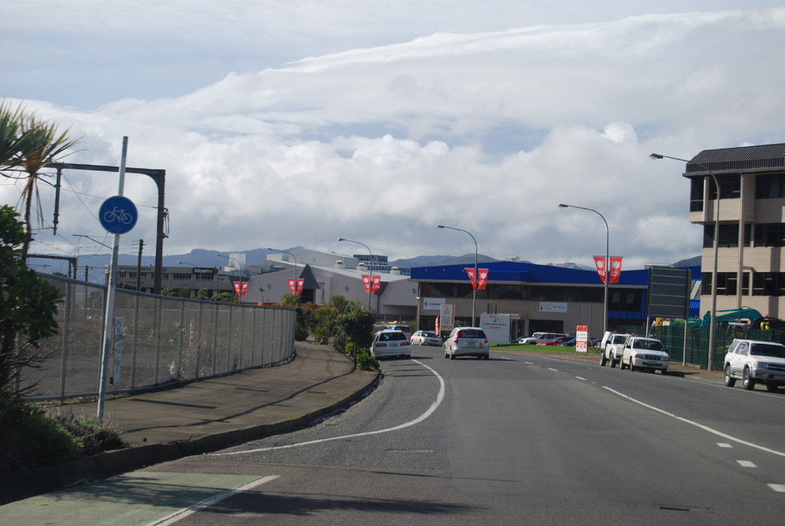
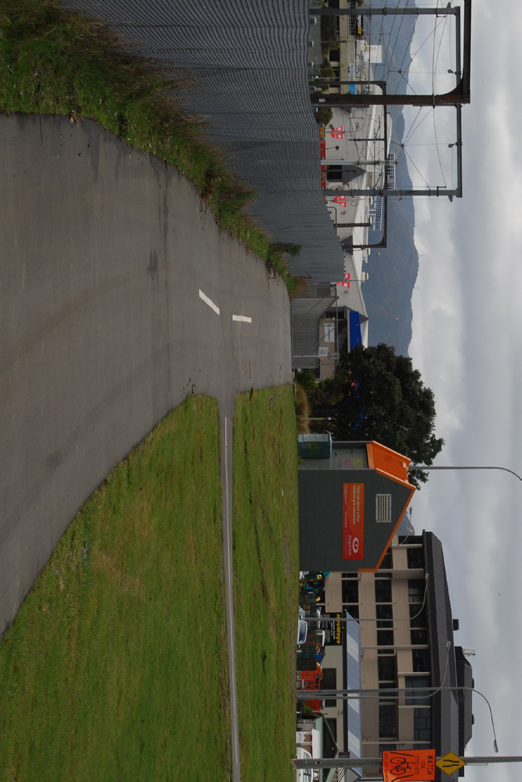
 P E T O N E E S P L E N A D E
C O N S T R A I N T S A N D O P P O R T U N I T I E S
korokoro stream
McKenzie Ave
Petone - Grenada
petone station
Jackson St
PETONE ESPLANADE
Waione St - Eastbourne
ACT kaiwharawhara stream WELLINGTON CITY
THE
Hutt Rd-Thorndon Quay
Aotea Quay
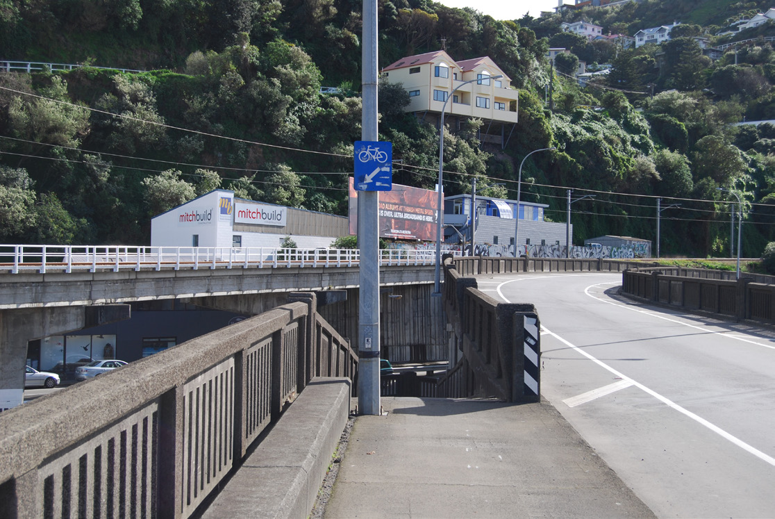
Rationalise parking and adjacent landuse in consultation with key stakeholders to provide consistent 3m+ shared path along the coastal edge
UNDER
INFORMATION
Improve paving condition and recess furniture to provide a clear paved route that is easy to maintain
RELEASED
OFFICIAL
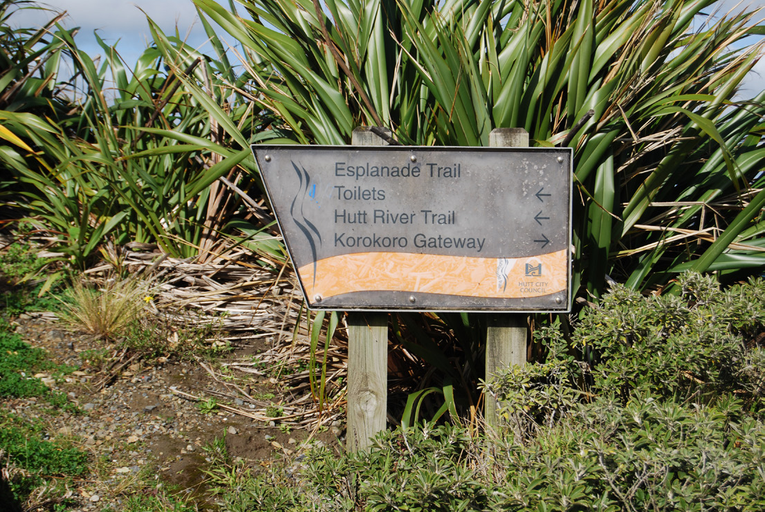
Complement the Korokoro Gateway project and the wider heritage and river trail network
U R B A N A N D L A N D S C A P E D E S I G N F R A M E W O R K G U I D E - D R A F T
P E T O N E T O N G A U R A N G A C Y C L I N G A N D P E D E S T R I A N I M P R O V E M E N T S D B C
1 May 2014
pg5
 B R I D G E S - N G A U R A N G A & M C K E N Z I E A V E L I N K
U R B A N A N D L A N D S C A P E D E S I G N P R I N C I P L E S
To enhance amenity and landscape experience* and as per required and best practice CPTED, traffic and
engineering standards:
* for cyclist and pedestrians, adjacent residents/properties with an open outlook, motorists & train passengers
L O C AT I O N
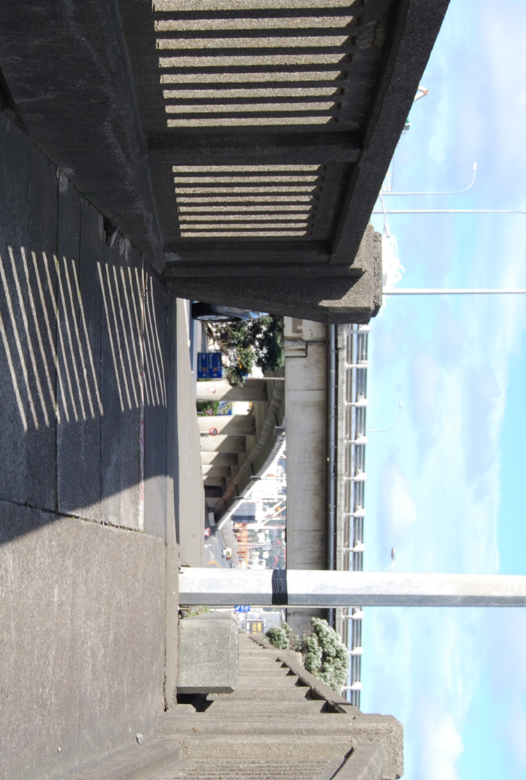
1. Locate the pedestrian/cycle bridge in close proximity to other structures to provide an appropriate visual
context and passive surveillance whilst ensuring adequate deceleration distance. For example, existing flyover
structures, at Ngauranga., Petone and McKenzie Ave, can be used to provide an appropriate setting
ACT
6.0
FURTHER DETAIL – ARCHITECTURAL STRUCTURES
2. Ensure ramp and bridge structure location minimises obstruction of views across the harbour for motorists and
6.1
JACOBS LADDER SECTOR
train passengers
6.1.1 FOOTBRIDGE
THE
E X P E R I E N C E A N D A C C E S S I B I L I T Y
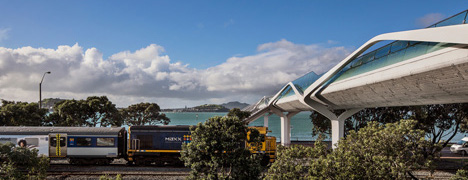
Resolution Point - Auckland |
Location - Experience and Accessibility - Forms and Materials
3. Ramp gradients should encourage easy access by all cyclists and pedestrians with gradients no steeper than 8%
(1:12) and ideally 5%(1:20). Limit steep sections to the shortest distance possible
4. Ramp and bridge width and the angle of approach/ transition should reduce likelihood for collision with
minimum width of 3m (4m at handlebar height)
5. Bridge lighting/utilities should be integrated within the structure leaving the external surfaces free of services
62
and include protection against vandalism. Avoid light spill/nuisance for surrounding residents and other users
of the corridor
UNDER
6. Safety rails and screens should be integrated within the structure and maximise protection from the wind and
views of the surrounding coastal escarpment, city and harbour. Avoid snag hazards by e.g. using an outward
splay on the balustrade
7. Provide off line viewing /seating areas for a lookout over the harbour and a response to the heritage values of
INFORMATION
Ngauranga and Petone
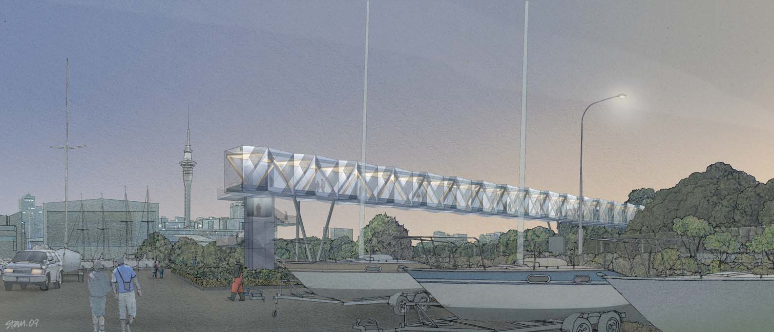
Jacobs Ladder - Victoria Park |
Experience and accessibility - Forms and Materials
F O R M S A N D M AT E R I A L S
8. Use forms that complement the character and scale of the surrounding urban area and landscape. Respond
to the forms of the coastal environment and escarpment, existing flyover and rail corridor structures and the
vic park tunnel
:: urban design masterplan
proposed northern gateway sculpture
RELEASED
9. Use clean lines and proportions that minimise the bridge profile
10. Use light and shadow to reduce apparent scale. For example, barriers/facades that slope inwards and extend
below the deck and recessed beams will create shadow lines and reinforce the horizontal lines
OFFICIAL
11. Use simple details and connections e.g. drop the pile to column connection below ground & avoid cap beams
12. Use durable materials and finishes suitable for a harsh coastal environment and to reduce graffiti, maintenance
and minimise life costs
13. Use colour/patterns/texture and/or lighting as part of a coherent route wide treatment and to emphasise the
bridges landmark qualities and to celebrate the sites natural and cultural context. Avoid visual clutter and token
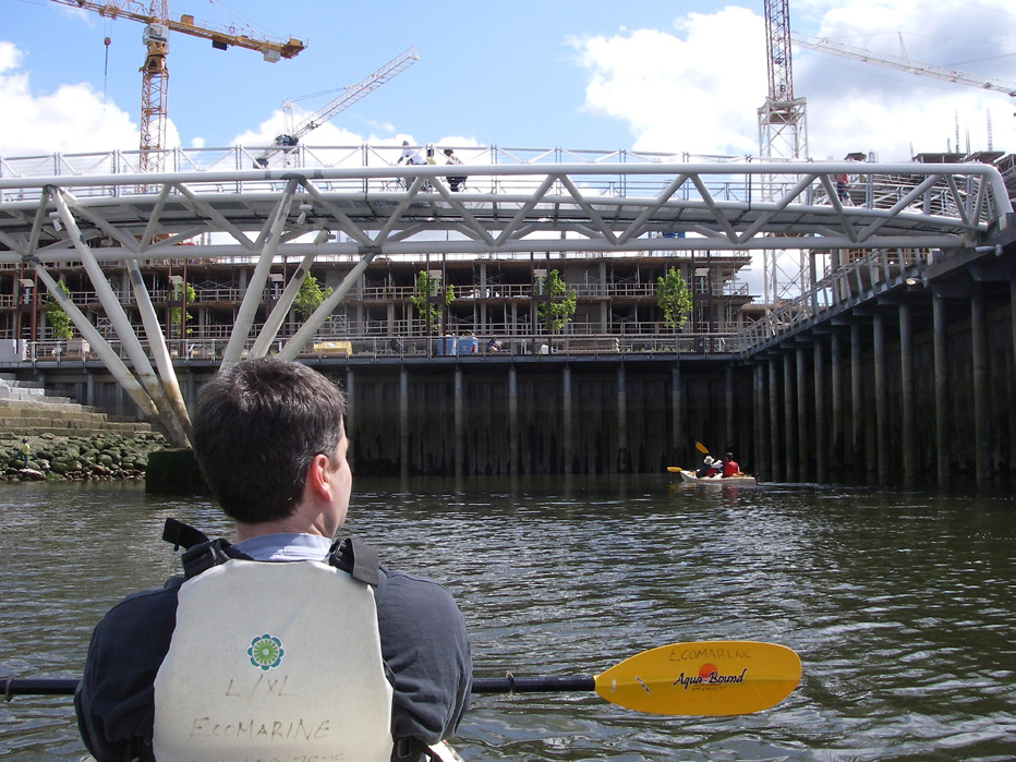
Granville Island - Vancouver |
Location - Experience and accessibility - Forms and Materials
motifs
U R B A N A N D L A N D S C A P E D E S I G N F R A M E W O R K G U I D E - D R A F T
P E T O N E T O N G A U R A N G A C Y C L I N G A N D P E D E S T R I A N I M P R O V E M E N T S D B C
1 May 2014
pg6
B R I D G E S - N G A U R A N G A
U R B A N A N D L A N D S C A P E D E S I G N S T A T E M E N T
P R I N C I P L E S
R E C O M M E N D E D D E S I G N P A R A M E T E R S
L O C AT I O N
1. Locate the pedestrian/cycle bridge in close proximity to other structures to provide an appropriate visual
1a The bridge structure should be located in close proximity to SH1 to ensure the least impact on existing views
context and passive surveillance whilst ensuring adequate deceleration distance. For example, existing flyover
and an appropriate setting; so that the structure can be viewed as an integrated part of the Ngauranga interchange.
structures, at Ngauranga., Petone and McKenzie Ave, can be used to provide an appropriate setting
Aligning the end of the cycle/pedestrian bridge ramps with the SH2 on and off ramps would provide an appropriate
urban design setting. This would provide approximately 200m for deceleration before the approach to the
Ngauranga underpass
2. Ensure ramp and bridge location minimises obstruction of views across the harbour for motorists and train
2a Provide steeper ramp gradients (with landings and no steeper than 8%) and a sharper turning angle onto
ACT
passengers
the bridge to reduce the overall length of the structure. Note: a 5% gradient would require a ramp length of
approximately 120m with 7 landings. An 8% gradient would require a ramp length of approximately 75m with 7
landings and a hand rail at the height of 1m. The balustrade upstand and its extension below the deck of the ramp
can be used to provide the appearance of a consistent gradient from the road corridor
THE
2b Design elements to maximise visibility under the ramps and bridge by using slim line concrete/steel columns in
the substructure with wider and equally spaced or balanced spans and simple connections into the ground and the
superstructure. Avoid earth embankments where the ramp height is above 1.8m.
2c Use superstructure elements that contribute to an overall light and airy appearance by using a simple palette of
components including a visually permeable facade/balustrade (mesh/glass/etc).
E X P E R I E N C E A N D A C C E S S I B I L I T Y
3. Ramp gradients should encourage easy access by all cyclists and pedestrians with gradients no steeper than 8% 3a Ramp gradients should be designed to a maximum of 8% preferably less than 5%. See note above
UNDER
(1:12) and ideally 5%(1:20). Limit steep sections to the shortest distance possible
3b Ramp to bridge alignment (turn areas) should provide for good cycle flows, visibility and a safe speed for the
start of the descent (10km/hr, tbc)
3b Ramp paving should have a relatively smooth anti slip finish (NZS 4586:2006 )with cross fall and ongoing
maintenance provided to maximise accessibility including during wet weather
INFORMATION
4. Ramp and bridge width and the angle of approach/ transition should reduce likelihood for collision with
4a Provide a minimum ramp and bridge envelope (clear zone at handlebar height) of 4m
minimum width of 3m (4m at handlebar height)
4b Design for reduced cyclist speed over the bridge (20km/hr is recommended on the San Franciso Bay Bridge
Trail, for example) through alignment of ramp to bridge turning area and other ‘calming’ elements such as changes
in paving (exposed aggregate, timber decking inserts), supergraphics (as used on other ‘slow zone’ sections of the
route) and rest areas with seating elements.
5. Bridge lighting/utilities should be integrated within the structure leaving the external surfaces free of services
5a Power cables and other services should be integrated within structure using duct system with flush covers
RELEASED
and include protection against vandalism. Avoid light spill/nuisance for surrounding residents and other users
for servicing. An LED lighting system is recommended with fixtures to form part of, or be attached to, other design
of the corridor
elements such as balustrades/deck/seating elements.
5b Stormwater components should be integrated/screened from pedestrian/cyclist and rail/road corridor users
OFFICIAL
with any channels required to be set below the ramp and bridge deck.
U R B A N A N D L A N D S C A P E D E S I G N F R A M E W O R K G U I D E - D R A F T
P E T O N E T O N G A U R A N G A C Y C L I N G A N D P E D E S T R I A N I M P R O V E M E N T S D B C
1 May 2014
pg7
B R I D G E S - N G A U R A N G A
U R B A N A N D L A N D S C A P E D E S I G N S T A T E M E N T C O N T ’ D
P R I N C I P L E S
R E C O M M E N D E D D E S I G N P A R A M E T E R S
E X P E R I E N C E A N D A C C E S S I B I L I T Y c o n t ’ d
6. Safety rails and screens should be integrated within the structure and maximise protection from the wind and
6a The ramp and bridge facade should provide a minimum 1.4m balustrade and be constructed from a visually
views of the surrounding coastal escarpment, city and harbour. Avoid snag hazards by e.g. using an outward
permeable material that also provides good shelter from the wind (mesh/glass/etc.)
splay on the balustrade and integrated handrail.
6b Final height of the balustrade is to avoid obstruction at eye level; increased heights may be appropriate to
ensure reduced impact on sightlines for typical range of pedestrians/cyclists
6b Integrate hand/leaning rail into balustrade with splay to reduce risk of snag hazard for cyclists and improve
ACT
accessibility
7. Provide off line viewing /seating areas for a lookout over the harbour and a response to the heritage values of
7a Provide for a minimum of one offline area (e.g. cantilevered viewing platform offline at the end of the coastal
THE
Ngauranga and Petone
ramp) with seating, improved shelter (screen height increased along exposed edges and to frame view) and possible
interpretaion/signage elements.
7b Ensure deck width, balustrade height and hand rail provide for informal rest areas along the bridge extent with
a minimum 2m central ‘clearway’ for commuting traffic and possible additional seating elements and angled viewing
‘buildouts’ mid way across the bridge.
F O R M S A N D M AT E R I A L S
8. Use forms that complement the character and scale of the surrounding urban area and landscape. Respond
8a Use steel and concrete in the construction of the main components of the bridge and ramp super/sub
to the forms of the coastal environment and escarpment, existing flyover and rail corridor structures and the
structure with a 100 year design life (tbc). Fewer, larger elements are recommended (e.g. larger substructure
UNDER
proposed northern gateway sculpture
columns at increased spacing), in keeping with the road and rail corridor structures
9. Use clean lines and proportions that minimise the bridge profile
9a Use simple forms/angles and a smooth finish for the majority components in the structure
INFORMATION
10. Use light and shadow to reduce apparent scale. For example, barriers/facades that slope inwards and extend
10a Provide for bespoke balustrade and beam design options to be confirmed during detailed design; as a
below the deck and recessed beams will create shadow lines and reinforce the horizontal lines
minimum allow for an extended facade and recessed beams in preliminary costing
11. Use simple details and connections e.g. drop the pile to column connection below ground & avoid cap beams
11a Connections tbc during detail design. As a minimum, preliminary costing should provide for below ground
column connections and simple joins (no cap beam) between columns and the main beams of the structure
12. Use durable materials and finishes suitable for a harsh coastal environment and to reduce graffiti, maintenance
12a Provide for an enhanced specification for all materials, finishes, fixtures, paint systems etc. to include
and minimise life costs
protection from salt laden strong winds (ref NZS 2312:2002), sun damage and vandalism (e.g. matte clear coat
protectant to all columns, walls and balustrade). Provide for appropriate maintenance schedule including washing
RELEASED
to reduce salt buildup and corrosion.
13. Use colour/patterns/texture and/or lighting as part of a coherent route wide treatment and to emphasise the
13a. Detailed design to provide for bespoke facade/bridge balustrade including consultation, possible artist/
bridges landmark qualities and to celebrate the sites natural and cultural context. Avoid visual clutter and token
specialist architectural input and specialist fabrication/installation requirements.
OFFICIAL
motifs
U R B A N A N D L A N D S C A P E D E S I G N F R A M E W O R K G U I D E - D R A F T
P E T O N E T O N G A U R A N G A C Y C L I N G A N D P E D E S T R I A N I M P R O V E M E N T S D B C
1 May 2014
pg8