


 for our
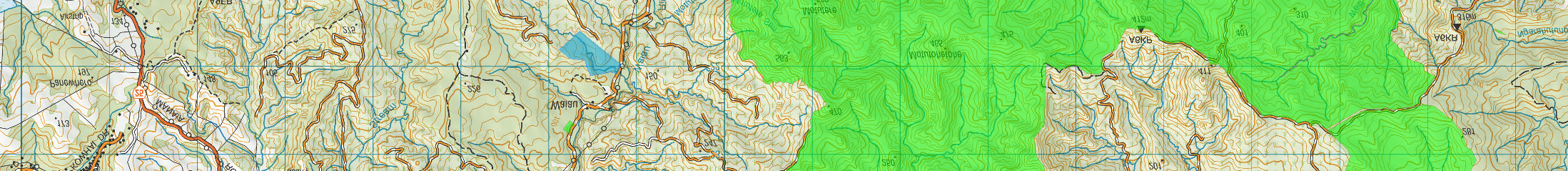
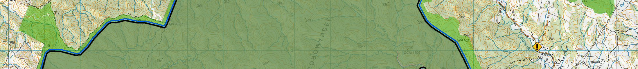
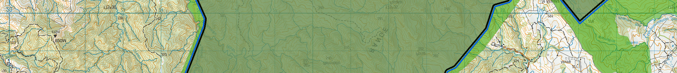
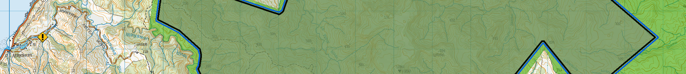
Map 2
for our
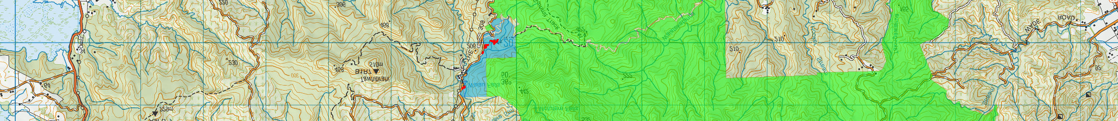
Map 2
1982
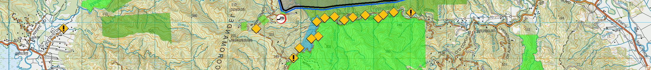
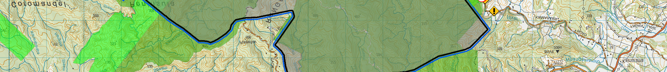
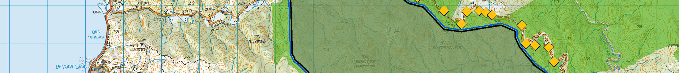
Map 3
Act
Information
Official
the
under
Released
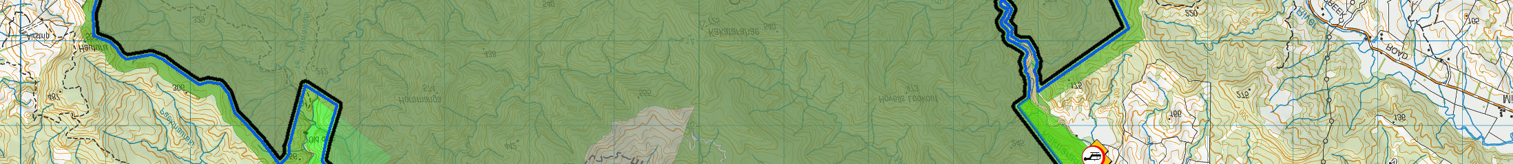
DOC tracks
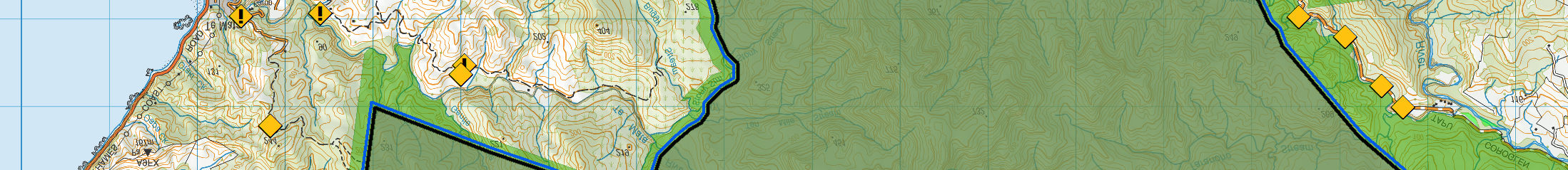
ô
Loading site
Warning sign
i Warning sign & info panel
DOC permission consent boundary
National park
Conservation park
Special y protected area
Reserve
Stewardship area
Marginal strip
Wildlife management area
Treatment area boundary shown here is indicative
Waitangi endowment forest
only and subject to confirmation with contractor.
2.5
km
Papakai - DOC Permission Application
Scale at A3 = 1:63,938
NZGD 2000 New Zealand Transverse Mercator
Map 1 - Overview
Not for navigation
Crown Copyright Reserved
´
Aerial Predator Control 2017
Basemap : LINZ Topo50
DOC, Geospatial Services
15/09/2017
Area of DOC permission application: 11,535 ha