
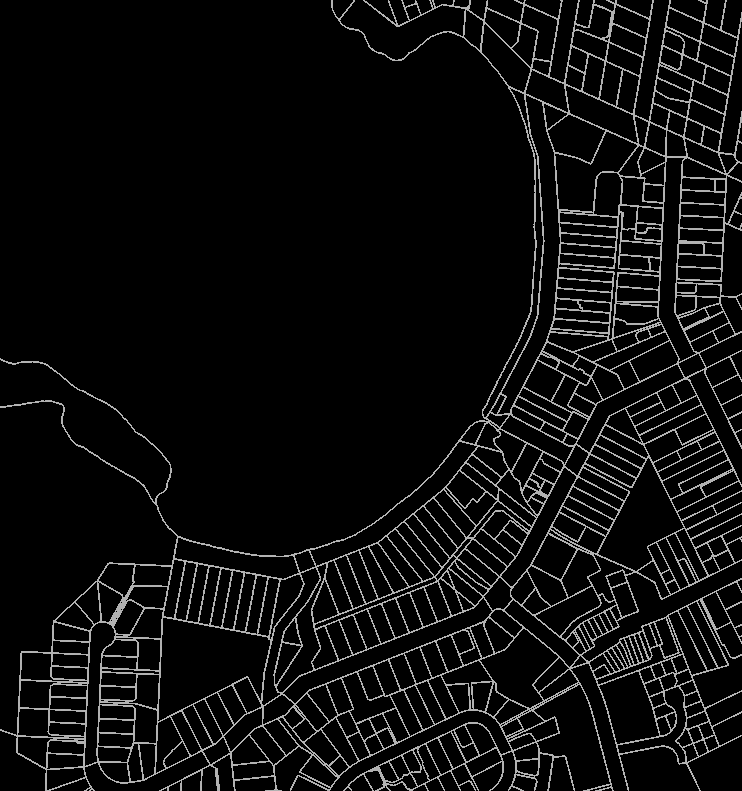
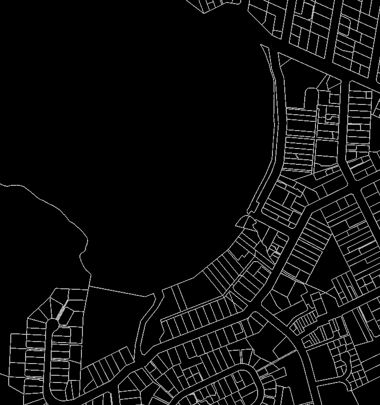


Porirua City Maps
Eagle Technology, Land Information New Zealand, GEBCO, Community maps contributors
LEGEND
±
0
70
140
Meters
Scale: 1:4,514
Created on 13 December 2022
DISCLAIMER
Sourced from Land Information New Zealand. CROWN COPYRIGHT RESERVED. The information displayed in the map has been taken from
Porirua City Council's databases and GIS. It is made available in good faith but its accuracy or completeness is not guaranteed. If the
information is relied on in support of any resource consent application process it should be verified independently.